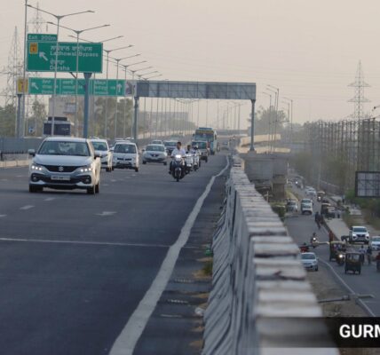
Heatwave conditions over North and Northwest India, which have prevailed since the start of June, could abate by Thursday, the India Meteorological Department (IMD) said on Monday.
Uttar Pradesh, Delhi, Bihar, and Rajasthan have mainly experienced severe heatwave conditions both in May and June, making it an unusually hot summer over the plains of North India.
Heatwave conditions will continue over Bihar, Jharkhand, Madhya Pradesh, Uttar Pradesh, Gangetic West Bengal, Jammu, Himachal Pradesh, Western Rajasthan, Haryana, Delhi, Chandigarh and Vidarbha in Maharashtra till the middle of this week. Thereafter, the day temperatures could see a marginal fall owing to the incoming stream of western disturbances effective from Tuesday through Thursday.
Women take cover under a scarf on a hot summer day amid heatwave, in New Delhi
On Sunday, the maximum temperatures across many places in Uttar Pradesh, Uttarakhand, and the surroundings of Delhi were recorded over 44 degree Celsius. New Delhi (46.3), Prayagraj (47.6), Varanasi (46.8), Sultanpur (46.4), Barabanki and Fursatganj (46), Una (44.6), and Ballia (44) in Uttar Pradesh were the hottest. Hills station Shimla recorded 35.3 degree Celsius whereas high reach Mukteshwar reported 31.8 degree Celsius on the day, the IMD said.
Meanwhile, a fortnight into the monsoon season, the northern limit of the monsoon Sunday passed through Navsari, Jalgaon, Amravati, Chandrapur, Bijapur, Sukma, Malkangiri, Vizianagaram, and Islampur. As of Sunday, the all-India rainfall stood at 55.9mm, which was 18 per cent short of normal for this time of the season. Among states and UTs where the monsoon onset has been realised, the rainfall situation is Andaman and Nicobar Islands (-8 per cent), Kerala (-42 per cent), Lakshadweep (-68 per cent), Goa (-1 per cent), Karnataka (26 per cent), Puducherry (7 per cent), and Tamil Nadu (117 per cent).
After the initial swift progress through the southern peninsular India, the monsoon advancement had significantly slowed down since last week. Though the Bay of Bengal branch of the Southwest monsoon was strong, in the aftermath of Cyclone Remal, and had helped the monsoon advance to the eastern states ahead of schedule, it has remained stalled in June. That is why heatwave conditions have continued over parts of West Bengal, Jharkhand, Bihar, Odisha, Chhattisgarh, and Eastern Uttar Pradesh, where the normal date for the monsoon onset was between June 10 and June 15.
“The monsoon, however, is currently active over Arunachal Pradesh, Assam, Meghalaya, Sikkim, Nagaland, Manipur, Mizoram, Tripura and the sub-Himalayan West Bengal,” an IMD official said.
Since June 1, Sikkim, which has already suffered multiple landslides this monsoon, has received 68 per cent surplus rainfall, and quantitatively it is 357.8mm.
In addition to strong monsoon winds, the presence of a cyclonic circulation over Northeast Assam and another similar system over Sub-Himalayan West Bengal has accentuated the rainfall situation over the eastern regions. The Met Department has warned of thunderstorms, lightning and extremely heavy rainfall (over 200mm in 24 hours) over Assam, Meghalaya, Arunachal Pradesh, and Sikkim till June 20.
Favourable conditions are developing for the monsoon progress, according to the IMD, towards the end of this week. There are chances of monsoon to advance into remaining parts of Maharashtra, Chhattisgarh, Odisha, coastal Andhra Pradesh, Gangetic West Bengal and Bihar during the next 4 to 5 days, the IMD said.
As per IMD’s latest Extended Range Forecasts, the Southwest monsoon is set to revive and turn active towards June-end. The forecast suggests that rainfall is likely to pick up over Gujarat, Madhya Pradesh, Jharkhand, Bihar, West Bengal, and some areas of Eastern Uttar Pradesh during June 20-27.


